GAR010-C1013-00
The download format for this product is non-refundable.
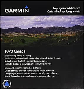
We've mapped every hill and valley for your next great adventure. With detail and precision, this map covers the finer details of the outdoors, including terrain contours, topo elevations, summits, routable roads and trails, rivers, lakes and geographical points.
- Provides detailed maps based on digital 1:50,000 or 1:250,000 scale NTS map data.
- Allows you to search by city, point, river or lake.
- Contains many routable roads and trails.
- Includes points of interest such as parks, campgrounds, scenic lookouts and picnic sites.
- Displays general shorelines and powerlines.
- Includes named ports.
- Labels summits, peaks and other geographic points.
Download Requirements
File Information
The file size of this download and space required on device or microSD™/SD™ card is 1 GB. If this download does not fit on your device, data may be saved on a microSD/SD card (Recycled microSD cards may be used to program map data).

Includes topographic detail of Saskatchewan, Manitoba and Ontario.
Product title
Vendor
$19.99 CAD | $24.99 CAD
Product title
Vendor
$19.99 CAD | $24.99 CAD
Product title
Vendor
$19.99 CAD | $24.99 CAD
Product title
Vendor